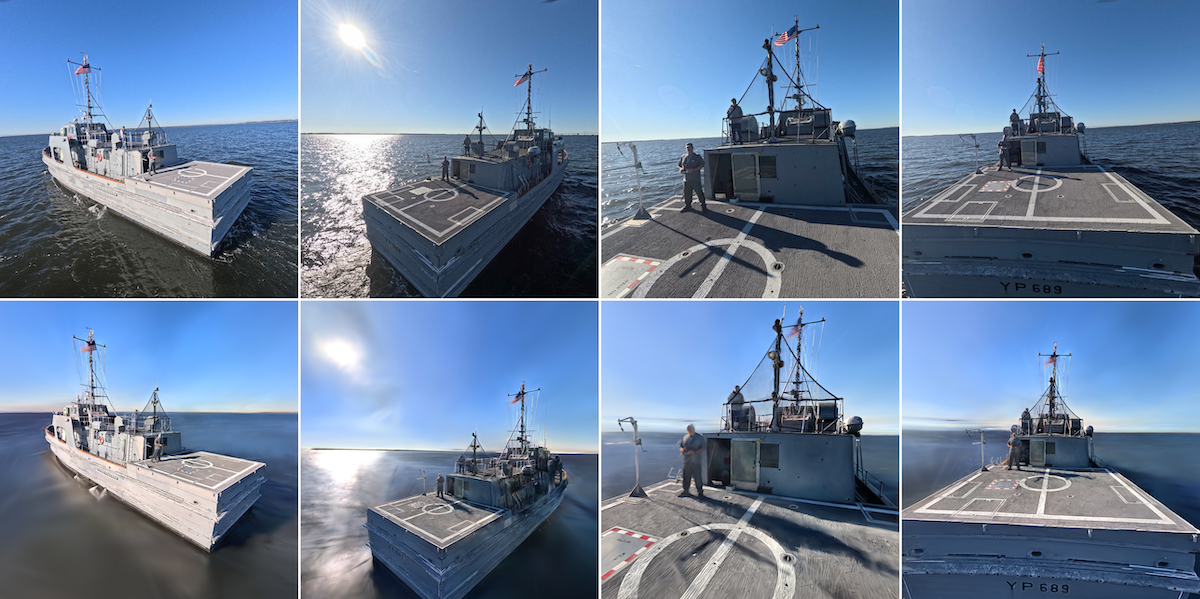

FDCL is advancing maritime autonomy through MARINER, a research project led by Professor Taeyoung Lee at The George Washington University. Supported by the U.S. Naval Air Warfare Center Aircraft Division (NAWCAD) with approximately $200,000 for 2026–2027, the project aims to help unmanned aerial vehicles navigate reliably relative to a ship when visibility and navigation conditions deteriorate.
MARINER stands for Maritime Adverse-weather Radar-based Inertial Navigation for Estimation of UAV Pose Relative to Flight Deck. Its central challenge is to determine a UAV’s position and orientation relative to a moving vessel. This information is essential for autonomous launch, approach, and recovery, particularly when GPS is unavailable or unreliable and fog, rain, sea spray, or poor lighting limit optical sensing.
The project will investigate radar-based perception combined with artificial intelligence. Transformer neural networks will learn to recognize a vessel’s structural features from radar measurements, drawing on simulated training data and subsequent testing with real sensor data. By using the ship’s geometry, the approach aims to extract useful navigation information from sparse, noisy measurements.
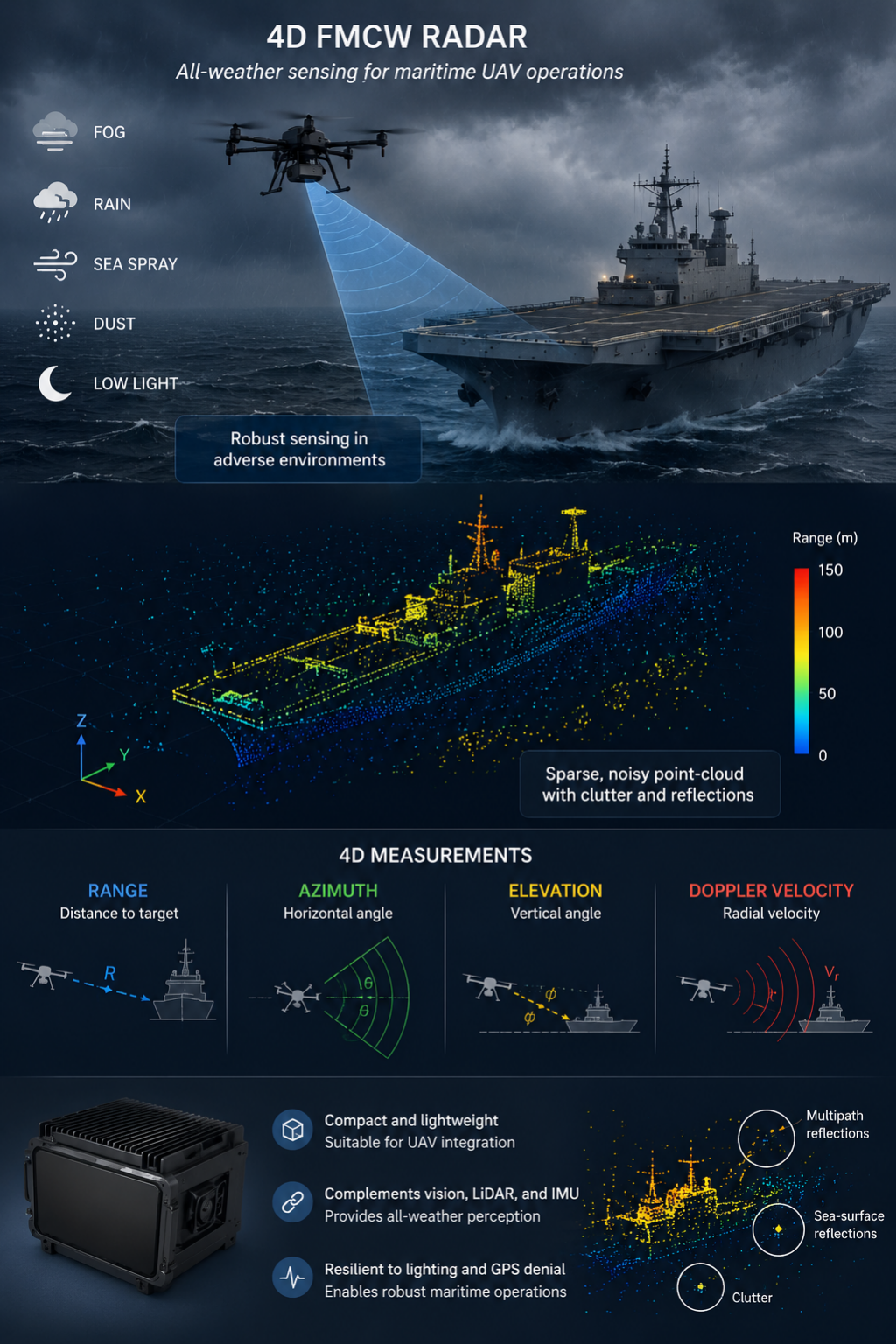
Radar estimates will be combined with cameras, LiDAR, and inertial sensors through geometric Bayesian estimation. The goal is to account for each sensor’s uncertainty and make better use of the information that remains reliable as conditions change.
Research will progress from simulation to controlled laboratory experiments and flight tests around a U.S. Naval Academy research vessel. FDCL’s existing work in visual perception, ship-relative navigation, and mixed reality testing provides a foundation for evaluating the new methods before deployment at sea.
By connecting radar sensing, AI, geometric estimation, and flight experiments, MARINER seeks to extend autonomous maritime operations into conditions that challenge existing navigation systems.
Start the conversation